Brunei, officially known as Negara Brunei Darussalam, is a fascinating country often recognized for its rich biodiversity and significant oil and gas reserves. But before delving into its natural wonders and economic importance, a fundamental question arises: Where Is Brunei Country Located? Understanding Brunei’s geographical position is key to appreciating its unique identity and regional significance. This article will explore the precise location of Brunei, offering a comprehensive overview of its geographical context within Southeast Asia and the island of Borneo.
Location map of Brunei showcasing its physical features, rivers, and topography in Southeast Asia.
Brunei is nestled on the island of Borneo, the third-largest island in the world, which it shares with Malaysia and Indonesia. More specifically, Brunei is situated on the northern coast of Borneo, in Southeast Asia. It is geographically positioned in a way that it is almost completely surrounded by Malaysia; in fact, the state of Sarawak, Malaysia, divides Brunei into two parts. This unique situation makes Brunei a country with two distinct segments: a larger western part and a smaller eastern part.
To pinpoint Brunei’s location more accurately, it lies approximately between the coordinates of 4°30′ North latitude and 114°40′ East longitude. Its total area covers about 5,765 square kilometers (2,226 square miles), making it a relatively small nation. Despite its size, Brunei’s location is strategically important due to its access to the South China Sea and its proximity to major Southeast Asian economies.
Brunei’s western part is where you’ll find most of the country’s population and its capital, Bandar Seri Begawan. This segment is bordered by Sarawak (Malaysia) on all sides except for its coastline along the South China Sea to the north. The smaller eastern part, known as Temburong, is separated from the western part by Sarawak and is also bordered by the Malaysian state of Sabah to the east and south. This eastern district is known for its pristine rainforests and untouched natural beauty.
The landscape of Brunei is characterized by a narrow coastal plain in the north, which gradually rises into rugged hills in the southern interior. The highest point in Brunei, Pagon Peak, reaches an elevation of 1,850 meters (6,070 feet) and is located in the southeastern part of the country. Several rivers drain Brunei, flowing generally northward into the South China Sea. Key rivers include the Belait, Tutong, and Brunei rivers in the western region, and the Pandaruan and Temburong rivers in the east. The Belait River stands out as the longest river in Brunei.
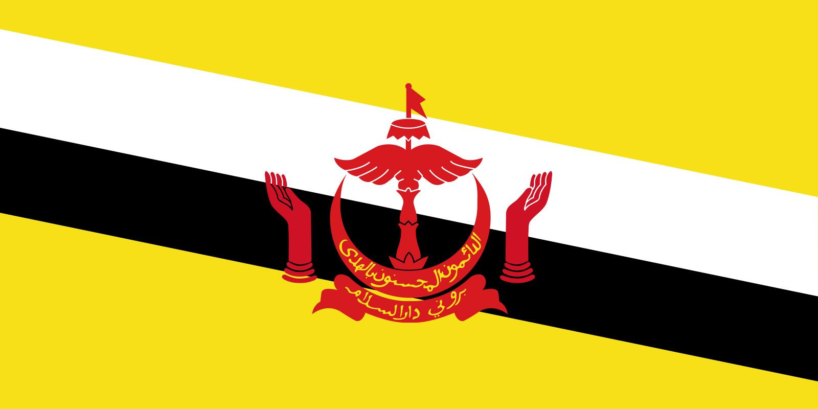
The national flag of Brunei Darussalam, symbolizing its sovereignty and identity in Southeast Asia.
The climate in Brunei is equatorial, heavily influenced by monsoon winds. This geographical location results in consistently warm temperatures throughout the year and high rainfall. The country experiences the northeast monsoon from December to March and the southwest monsoon from May to September, with transitional periods in between. The average annual rainfall is substantial, especially inland, contributing to the lush rainforest ecosystem that dominates much of Brunei.
In conclusion, Brunei is geographically positioned on the northern coast of Borneo, in Southeast Asia, almost encircled by Malaysia. Its location is defined by its equatorial climate, diverse topography ranging from coastal plains to hills, and rich river systems. Understanding where Brunei country is located not only provides a geographical context but also highlights its unique regional placement and the environmental factors that shape its natural and human landscape. This jewel of Borneo, despite its small size, holds a significant place in Southeast Asia, both geographically and culturally.


