
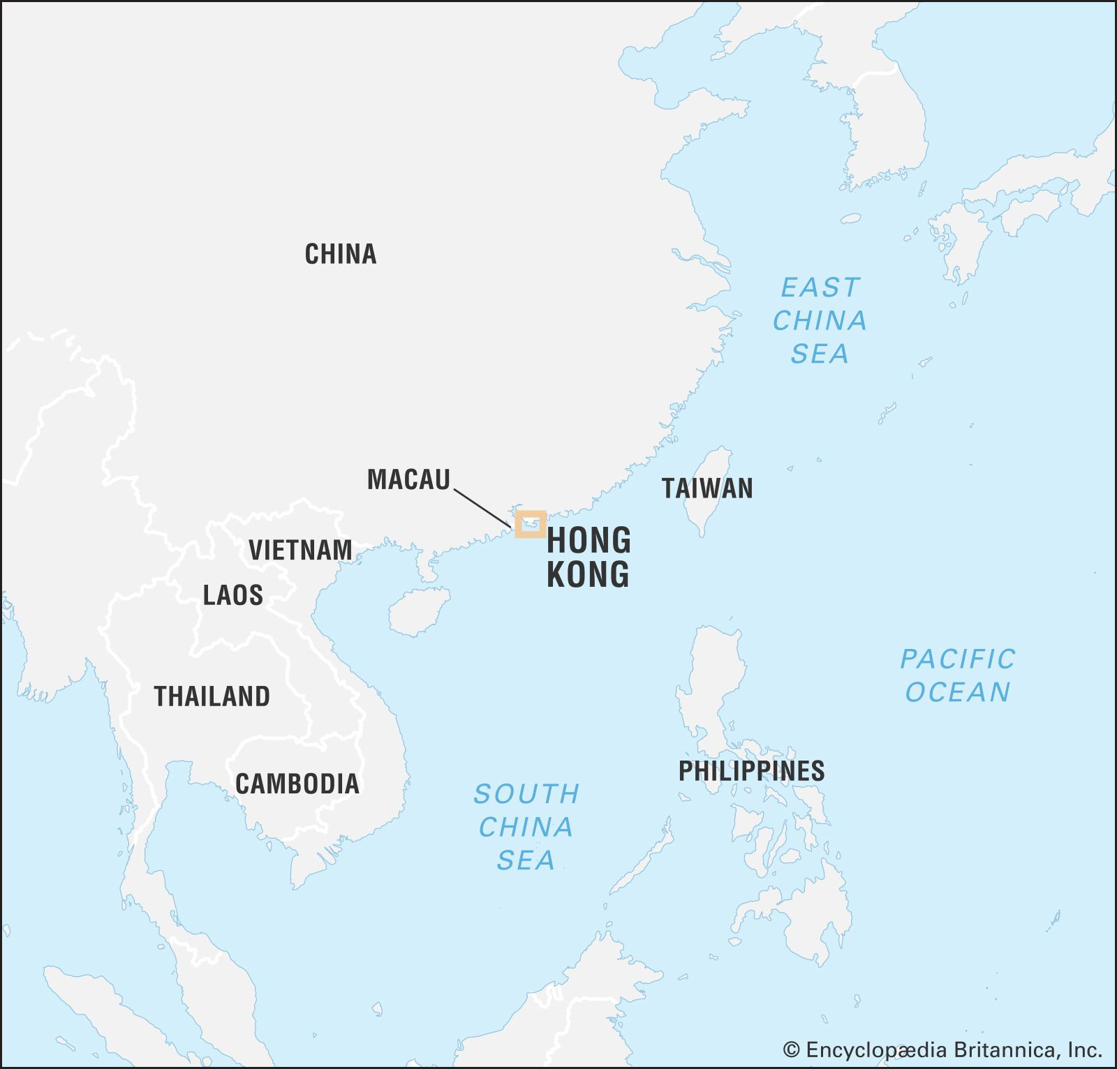
Hong Kong, officially the Hong Kong Special Administrative Region of the People’s Republic of China, is situated on the southeastern coast of China, to the east of the Pearl River estuary. This vibrant and dynamic region is nestled strategically bordering Guangdong province to the north and facing the vast expanse of the South China Sea to its east, south, and west. Understanding where Hong Kong is geographically located is key to appreciating its unique history and its role as a global hub.
Geographical Location of Hong Kong: Islands and Mainland
Hong Kong’s territory is composed of several key geographical components. The most historically significant is Hong Kong Island, which was the initial point of British settlement. To the north of the island lies the Kowloon Peninsula, a part of the mainland. Further north are the New Territories, which constitute the largest landmass, extending to the border with mainland China. Adding to this complex geography are over 200 offshore islands of varying sizes, contributing to Hong Kong’s diverse landscape. Stonecutters Island, once separate, is now connected to the Kowloon mainland through land reclamation, highlighting Hong Kong’s continuous evolution and expansion.
A History Shaped by Location: From Cession to Handover
Hong Kong’s story is intrinsically linked to its geographical position. Hong Kong Island was originally ceded to Great Britain by China in 1842, a pivotal moment that marked the beginning of British Hong Kong. Later, in 1860, the southern part of the Kowloon Peninsula and Stonecutters Island were also ceded. The New Territories, along with the numerous islands, were leased to Britain in 1898 for 99 years. This complex history of territorial acquisition underscores the strategic importance of Hong Kong’s location. The culmination of this historical journey was the handover of the entire territory back to China on July 1, 1997, an event that reshaped Hong Kong’s political landscape while maintaining its unique identity as a special administrative region.
Urban Expansion and Land Reclamation in Hong Kong
The area of Hong Kong has consistently expanded through land reclamation, a testament to its limited land resources and growing urban needs. While Hong Kong Island and its adjacent islets cover a relatively small area of approximately 31 square miles (81 square km), and urban Kowloon measures around 18 square miles (47 square km), the New Territories encompass the vast majority of Hong Kong’s land. Victoria, located on the northwestern coast of Hong Kong Island, holds historical significance as the initial landing site for the British in 1841 and remains a central hub for administration and economic activities. This continuous land reclamation demonstrates how Hong Kong adapts its geography to sustain its growth as a major metropolis.
 World map highlighting the location of Hong Kong in East Asia
Hong Kong: A Global Center Born from its Harbor
Hong Kong’s development was initially fueled by its exceptional natural harbor, aptly named “fragrant harbor” in Chinese, and its strategic position in the China trade, particularly in opium. However, it was the territorial expansion that provided the necessary labor and resources for sustained commercial growth. This growth trajectory transformed Hong Kong into one of the world’s leading trade and financial centers. Despite facing challenges such as limited space, natural resources, and socio-political dynamics, Hong Kong has thrived. It has evolved into a crucial entrepôt, a manufacturing and financial powerhouse, and a vital link in the trade and modernization of China, all underpinned by its key geographical location.
In conclusion, Hong Kong’s location on the southeastern coast of China, encompassing islands, mainland, and a strategic harbor, has been fundamental to its history and development. From its beginnings as a British colony to its current status as a Special Administrative Region of China, Hong Kong’s geographical context continues to shape its identity and its crucial role in the global economy.
[