Bali, the “Island of Gods,” conjures images of stunning beaches, vibrant culture, and lush landscapes. But before you pack your bags for this Indonesian paradise, you might be wondering: just Where Is Bali exactly? Nestled within the vast Indonesian archipelago, Bali is more than just a dot on the map; it’s a captivating destination with a precise location that influences its climate, culture, and accessibility. Let’s pinpoint Bali’s location and explore what makes it geographically unique.
Bali’s Geographical Context within Indonesia
To understand Bali’s location, it’s essential to place it within Indonesia. Indonesia, a sprawling nation of over 17,500 islands, is a transcontinental country primarily situated in Southeast Asia, extending towards Oceania. This archipelago stretches across a massive area, making it the world’s largest island country. Bali, officially a province of Indonesia, is positioned within the Lesser Sunda Islands, nestled between Java to the west and Lombok to the east. This puts Bali in Indonesia, specifically in the southern hemisphere, approximately 8 degrees south of the equator. This equatorial proximity gifts Bali with a consistently warm, tropical climate, making it a year-round destination for travellers seeking sun and warmth.
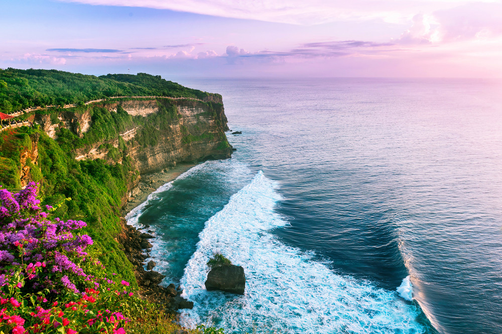 Uluwatu Cliff Bali Indonesia
Pinpointing Bali on the World Map: Sea and Neighbors
If you are looking at a Bali map or a world map, you’ll find Bali situated in the Bali Sea, which itself is a part of the larger Flores Sea. This sea, rich in marine biodiversity, contributes to Bali’s famed beaches and diving spots. Geographically, Bali is separated from Java by the Bali Strait and lies west of the Lombok Strait. These straits are crucial parts of the Indonesian Throughflow, a significant ocean current that connects the Pacific and Indian Oceans. While Indonesia shares land borders with Malaysia, Papua New Guinea, and East Timor-Leste, Bali’s closest neighbours are its fellow Indonesian islands. Furthermore, Indonesia’s location within the Pacific Ring of Fire means Bali shares in the region’s volcanic activity and dramatic landscapes, contributing to its fertile lands and stunning natural beauty.
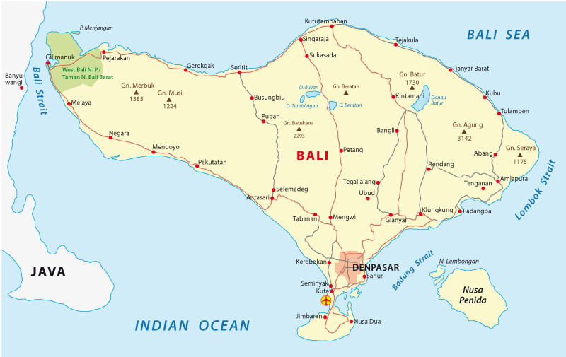 Map of Bali island province Indonesia
Denpasar: The Gateway to Bali
For many visitors, the question of “where is Bali” practically translates to “where is Denpasar?” Denpasar serves as Bali’s capital city and is home to Ngurah Rai International Airport (DPS), the primary entry point for international travellers. Located on the southern side of the island, Denpasar is not only a transportation hub but also a vibrant city with cultural attractions like the Bajra Sandhi Monument and Jagatnatha Temple. Its southern location places it conveniently close to many of Bali’s popular tourist destinations, making it an ideal starting point for exploring the island. Understanding that Denpasar is on the south coast of Bali helps visitors orient themselves upon arrival and plan their onward journeys to other parts of this captivating island.
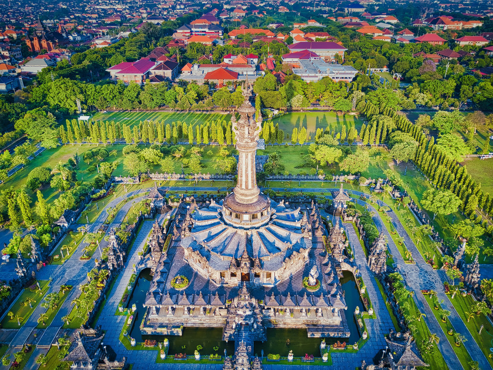 Aerial view of Bajra Sandhi Monument Denpasar Bali
In conclusion, Bali is located in Indonesia, within Southeast Asia and Oceania, positioned between the islands of Java and Lombok. Its precise location in the Bali Sea, south of the equator, and as part of the Indonesian archipelago, defines its tropical climate, rich marine environment, and its accessibility through Denpasar. Knowing where Bali is located geographically not only satisfies curiosity but also enhances your appreciation for this unique island destination and its place in the world.